Our system.
Anashield develops integrated systems to detect, classify, locate and intercept drone threats. Combining passive acoustic sensing with ground, maritime, airborne and mobile capabilities, our resilient network delivers real time situational awareness and coordinated responses, even when communications and navigation systems are disrupted.
Ground sensor
Fixed sensor nodes that continuously monitor their surroundings, providing persistent coverage of the area.
Maritime sensor
Sensor nodes built for water: ports, coastlines and offshore sites.
Airborne sensor
Sensors carried in the air, extending the picture beyond the fixed perimeter.
Mobile sensor
Turning every mobile phone into a sensor. Citizens, staff, and soldiers become part of the network.
Command and control
Where every sensor, person and airborne asset becomes one operational picture, fused for decision and response.
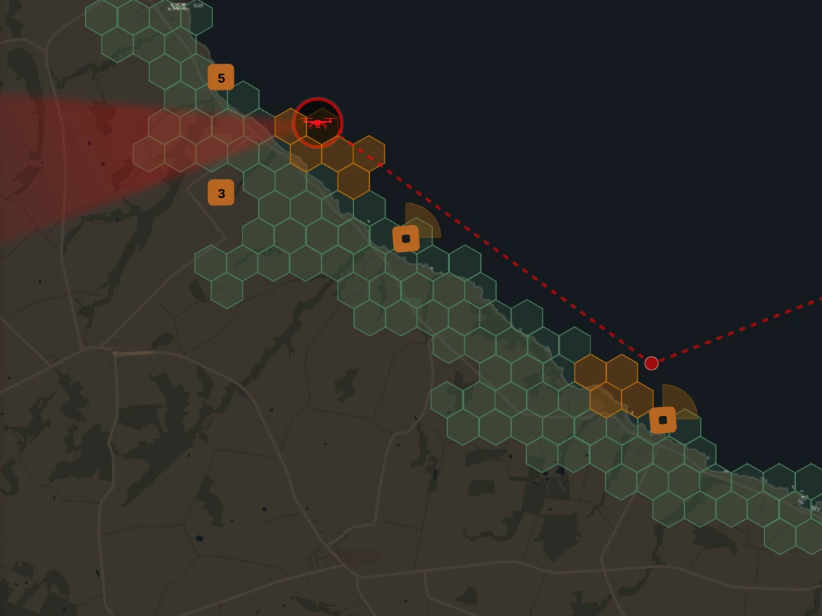
AnaCenter
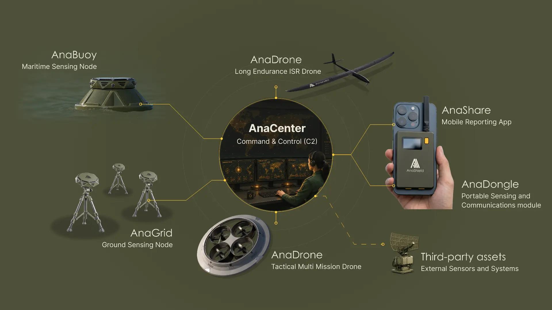
AnaCenter is the intelligence hub of the Anashield ecosystem. It combines data from multiple sensors and external systems to detect, classify and track threats, using AI to analyse patterns, predict trajectories and support coordinated responses.
Designed for resilient operations, AnaCenter can operate off grid and be deployed on premises or within sovereign cloud infrastructure.
One operational picture
Combines ground, maritime, airborne and mobile sensors with external systems into a unified, real time view.
AI powered threat intelligence
Classifies and prioritises threats, analyses patterns and predicts trajectories and potential impact areas to support faster decisions.
Alert and coordinate
Delivers targeted alerts to personnel, authorities and the public while coordinating response and interception assets.
Sovereign & resilient
Operates off grid or on premises, with flexible deployment across sovereign, private and hybrid cloud environments.
AnaShare
AnaShare app turns smartphones into a distributed drone detection and early warning network. Citizens, security personnel and soldiers can report drone activity, share real time information and receive targeted alerts. Integrated with the wider Anashield ecosystem, AnaShare connects people, sensors and authorities into one operational network.
Combined with AnaDongle, it enables enhanced acoustic and RF sensing and resilient communications, even when cellular networks are disrupted.
Report
Capture and share drone activity through video, audio and location data.
Validate
Combine reports from multiple users to help verify threats and reduce false alarms.
Alert
Deliver targeted warnings and guidance to people in affected areas.
Coordinate
Enable secure information sharing between civilians, security teams and military personnel.
AnaDongle
AnaDongle transforms any compatible smartphone running AnaShare into an enhanced drone detection node. Combining acoustic and RF sensing with onboard intelligence, it enables personnel to detect and classify threats while maintaining communications even when cellular networks are disrupted.
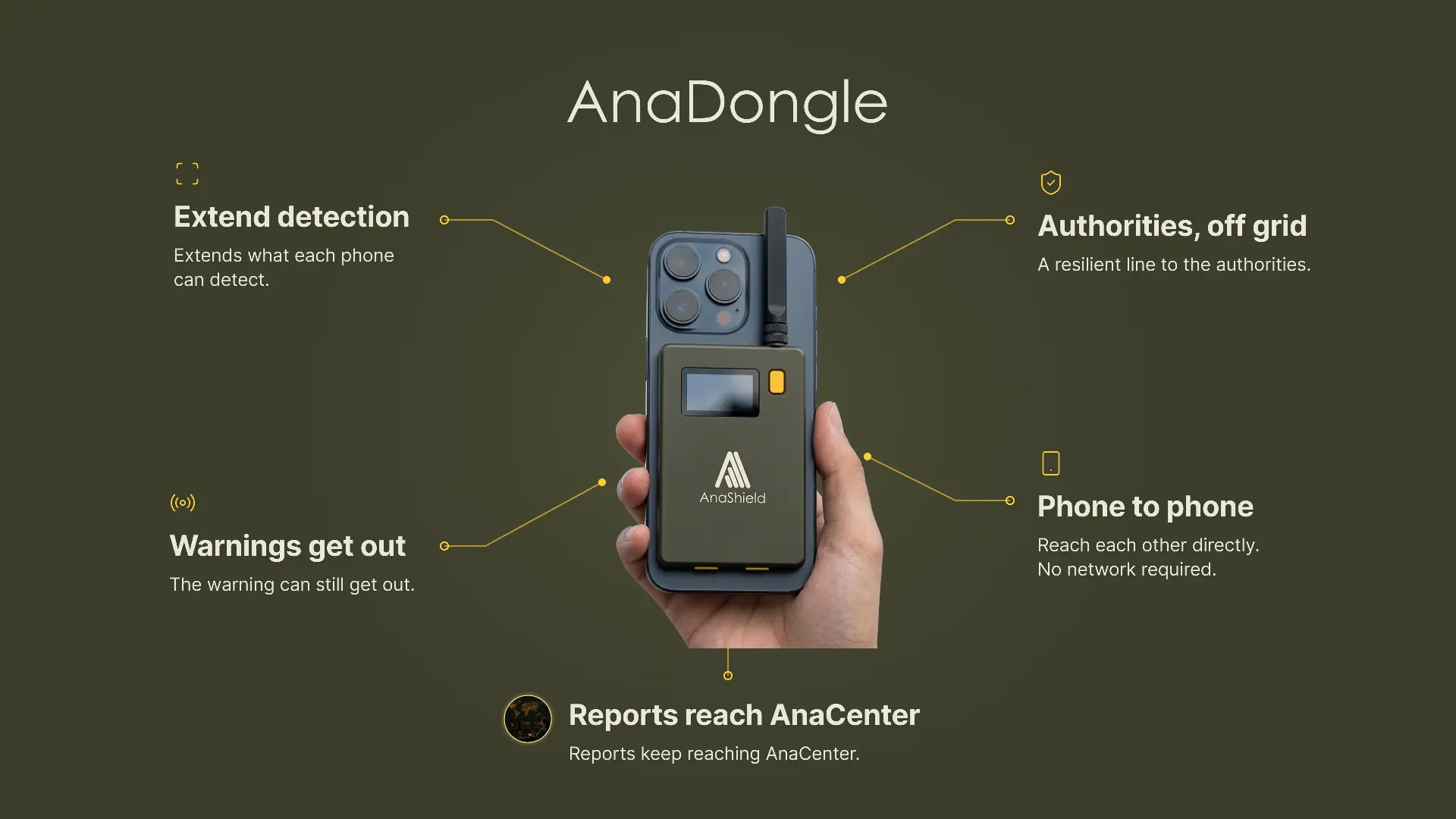
Multisensor detection
Enhanced acoustic and RF sensing for improved drone detection and classification.
Resilient communications
Built in long range communication capabilities provide an alternative link when cellular networks are unavailable.
Portable & autonomous
Compact, lightweight and independently powered for extended field operations.
Privacy by design
Threat focused sensing without continuous audio recording, with data managed through the Anashield ecosystem.
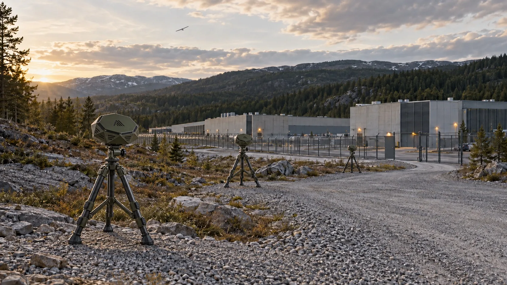
AnaGrid
AnaGrid is a network of intelligent sensing nodes providing continuous drone detection, classification and tracking. Combining passive acoustic sensing with optical and RF capabilities, each node processes threats locally using onboard AI. Nodes work together to extend coverage and maintain operations even if individual sensors or communications are disrupted.

ANAGRID | INTELLIGENT SENSING NODE
A rugged, weatherproof multisensor node with 360° acoustic coverage and onboard AI for real time threat detection and classification.
Intelligent acoustic sensing
Passive, 360° acoustic detection with onboard AI for real time threat detection and classification.
Onboard AI
Detects and classifies threats locally, reducing false alarms and dependence on external connectivity.
Cooperative tracking
Distributed nodes combine sensor data to locate and track threats across large areas.
Flexible & resilient deployment
Deployable on masts, tripods, fixed infrastructure or vehicles, with distributed operation even when individual nodes or communications fail.
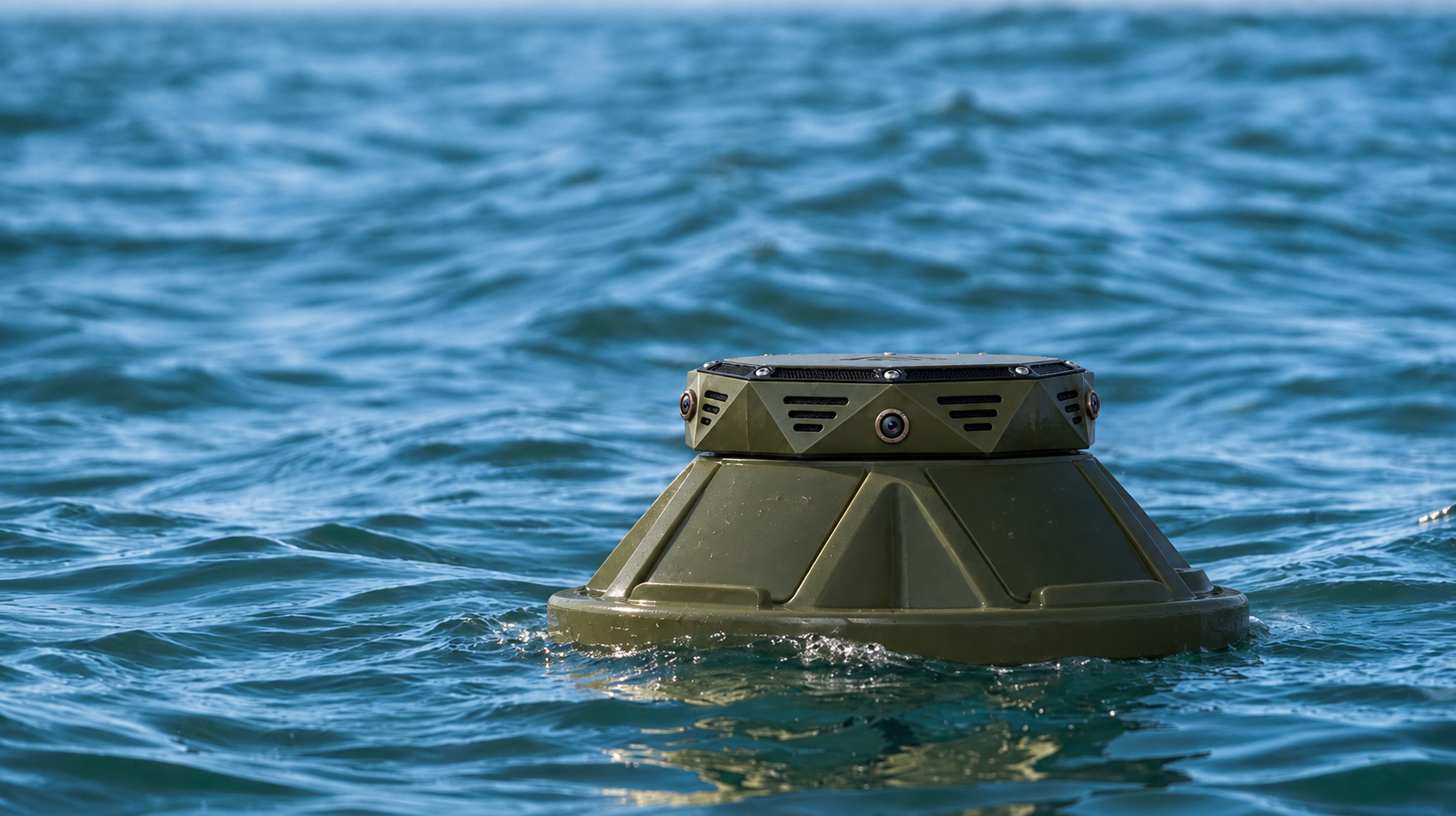
AnaBuoy
AnaBuoy extends Anashield's distributed sensing network to maritime environments. Built around the same intelligent acoustic sensing technology as AnaGrid, it provides continuous drone detection, classification and tracking across ports, coastlines and offshore infrastructure. Integrated with AnaGrid and AnaCenter, it connects maritime and ground sensors into one operational picture.
The same sensing at sea
Identical acoustic and sensor module to AnaGrid node.
Extended maritime coverage
Extends detection beyond the shoreline to protect ports, coastal approaches and offshore infrastructure.
Integrated sensor network
Combines maritime and ground sensor data through AnaCenter for unified situational awareness.
Persistent monitoring
Continuous maritime surveillance through distributed sensing nodes, complementing existing coastal defence systems.
AnaDrones
Two airborne assets integrated with AnaCenter: Glider for long range, persistent ISR and Tactical for rapid response and drone interception.
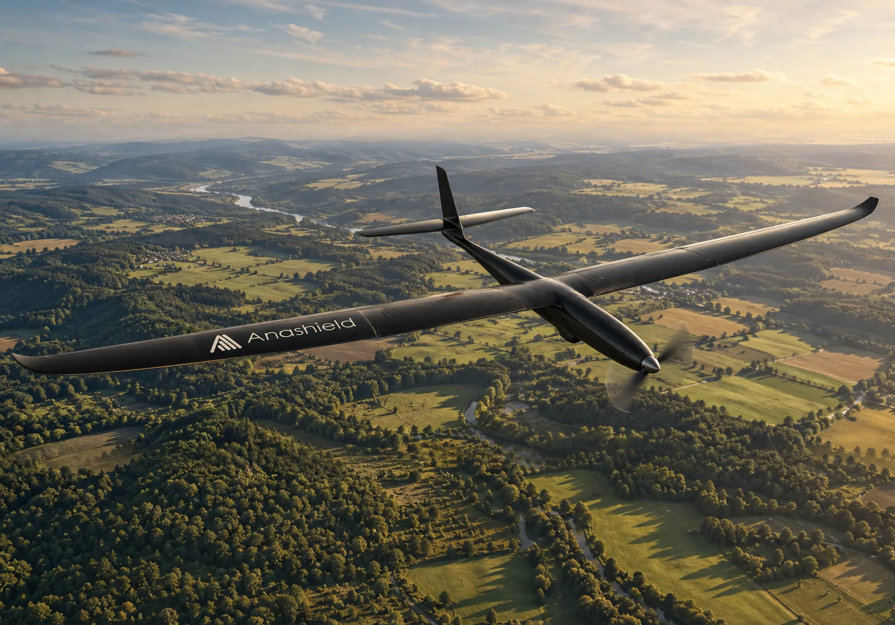
Glider
Glider is a long range, long endurance fixed wing drone designed for persistent intelligence, surveillance and reconnaissance (ISR) missions. It provides wide area monitoring, early threat detection and tracking across complex environments.
Integrated with AnaCenter, Glider can conduct autonomous surveillance missions or respond to alerts from the wider Anashield sensing network.
Wide-area cover
Persistent airborne detection beyond the fixed perimeter.
Long range & endurance
Designed for extended missions, providing continuous surveillance beyond fixed sensor coverage.
Multisensor intelligence
Advanced onboard sensing and intelligence for real time threat detection, classification and tracking.
Integrated operations
Connected to AnaCenter for coordinated missions, threat tracking and response.
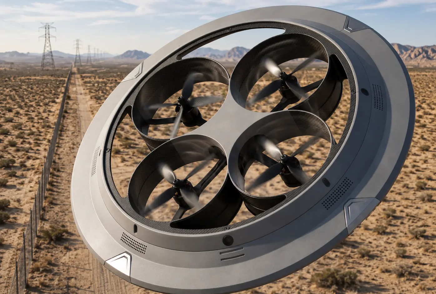
Tactical
Tactical is a compact, rapidly deployable drone designed for a wide range of defence and security missions, including drone interception. Integrated with AnaCenter, it can be deployed in response to detected threats, providing a flexible airborne capability within the wider Anashield defence ecosystem.
Multi mission platform
Versatile architecture designed to support different operational requirements and mission profiles.
Drone interception
Designed to intercept hostile drones as part of an integrated counter drone defence system.
Rapid deployment
Compact design enabling quick deployment and response to emerging threats.
Share live
Feeds AnaCenter in real time as part of one operational picture.
Hard to see. Costly to stop.
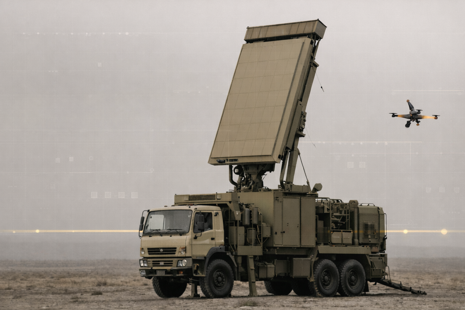
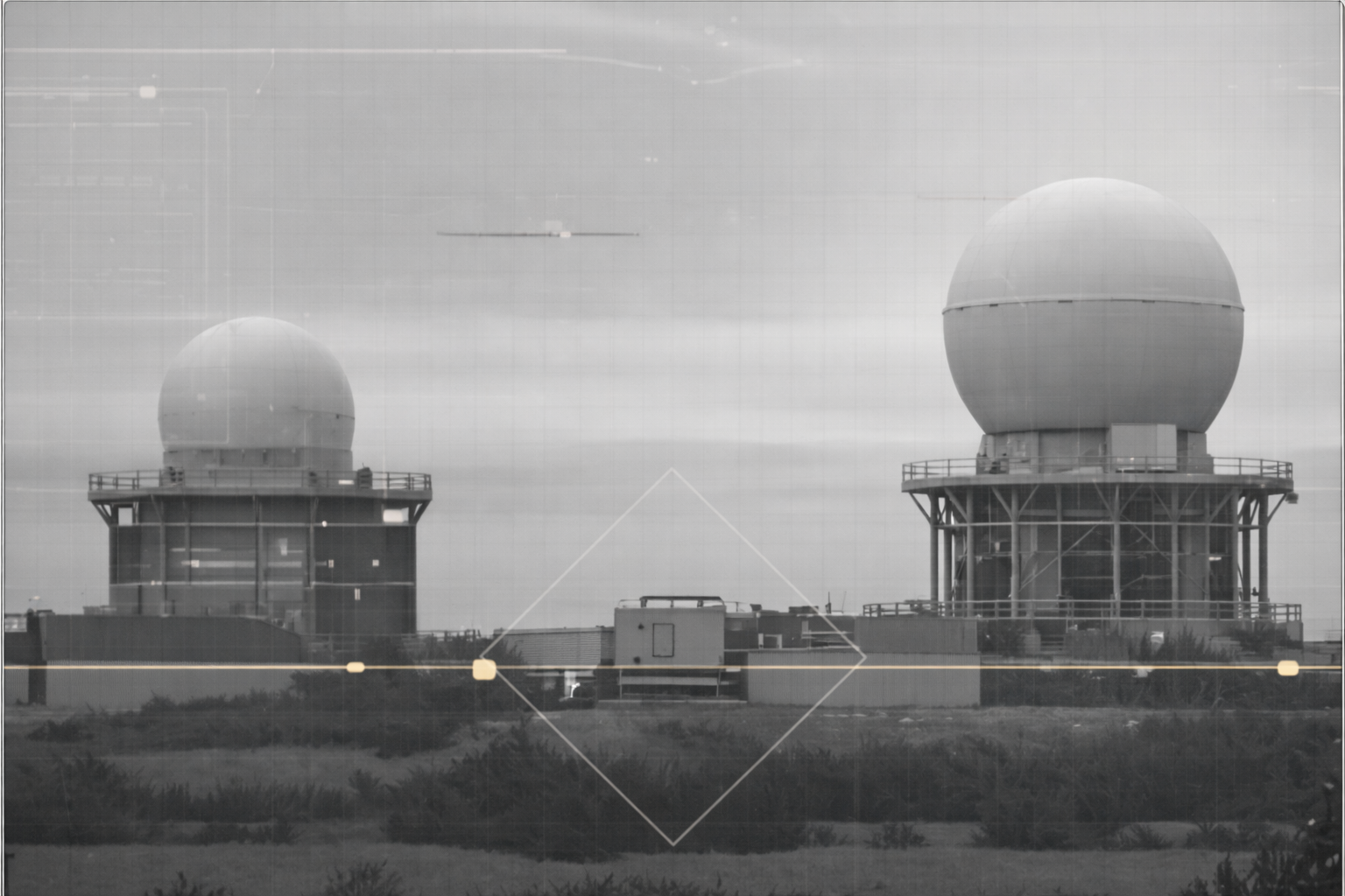
Drones are affordable, widely available and evolving rapidly. Their increasing speed, autonomy and diverse flight profiles challenge conventional detection systems, while traditional defence solutions remain disproportionately expensive.
Costly relative to the threat.
Defending against a low-cost drone often costs many times more than the drone itself.
Complex systems. Heavy requirements.
Many counter drone systems require dedicated infrastructure, specialised personnel and significant operational resources.

Hard to deploy at scale.
Few solutions can be deployed flexibly across cities, remote infrastructure and civilian environments.
The cost of protection far exceeds the cost of attack. Anashield changes that balance.
Same system. Different missions.

Civil Defence.
The problem: Drone sightings arrive as scattered reports, with no shared picture and no fast way to warn the public.
What we do: We connect citizens and authorities through a shared reporting and alert system. Citizens report drone sightings, authorities validate and consolidate information, and timely alerts are sent back to the public.
Critical Infrastructure.
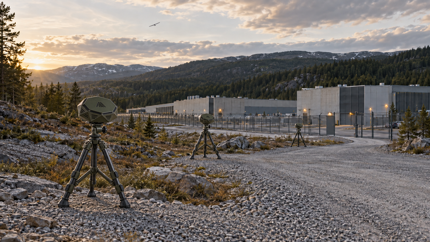
The problem: Airports, ports, energy facilities and industrial sites are often spread across large, remote or offshore locations. Maintaining continuous threat awareness and reliable communications across these environments is complex and resource intensive.
What we do: We combine fixed, maritime, mobile and airborne sensing into a distributed detection network, connected through a unified command and control platform. Resilient backup communication networks maintain connectivity when 4G and 5G networks fail, enabling continuous situational awareness and coordinated response.
Defence.
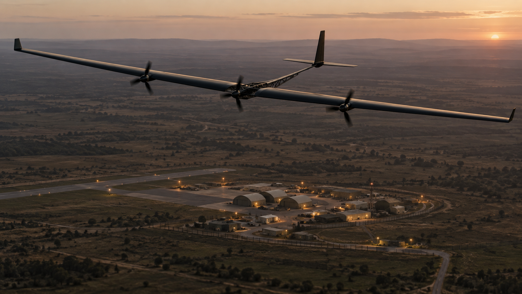
The problem: Drone threats are evolving rapidly, from small, low flying drones to high speed, high altitude systems. Military forces need early detection across vast and diverse environments, with distributed sensing and reliable communications to maintain situational awareness and respond effectively.
What we do: We deploy a distributed network of ground, maritime, airborne and soldier carried sensors, combining persistent monitoring with mobile detection and resilient communications. All inputs feed into a unified command and control platform, enabling earlier threat detection, faster decisions and coordinated defence.
How the system works.
Detect.
Different sensors, different places: ground, sea, air and the human layer. One contact can cue the others and start the picture.
Classify.
Edge intelligence identifies what it is, and how confident we are.
Locate.
Nodes work together to place the threat and keep the track.
Intercept.
AnaCenter turns a validated track into action: tasking airborne assets, alerting people, or handing off to the operator's own response.
Why Anashield.
Physical AI at the edge.
Intelligence runs on the sensors themselves, where decisions need to happen quickly and locally.
Our system.
Sensors, airborne assets and command software work as one.
See without being seen.
Passive detection gives awareness without revealing position.
Resilient by design.
The system keeps working when GNSS, cloud or mobile networks are degraded or unavailable.

Sovereign Protection
at Scale.
Our products are ready and our system works together. Let's talk about your environment.